Surisan Provincial Park (수리산도립공원)
Gyeonggi · 347-4, Sokdal-ro, Gunpo-si, Gyeonggi-do
Hours
Sunrise-Sunset
Sunrise-Sunset
Address
347-4, Sokdal-ro, Gunpo-si, Gyeonggi-do
347-4, Sokdal-ro, Gunpo-si, Gyeonggi-do
Parking
Available
Available
Overview
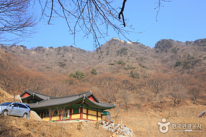
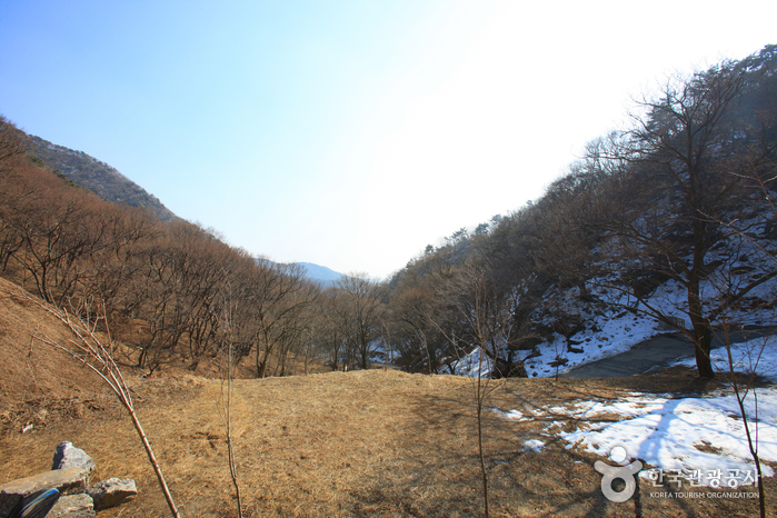
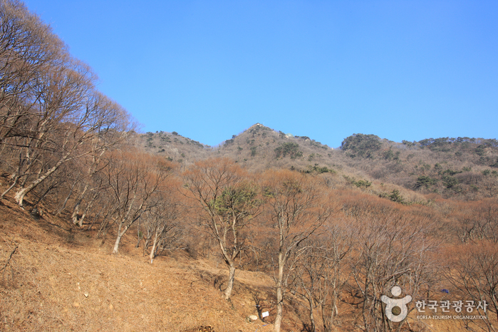
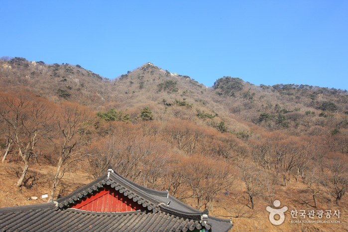
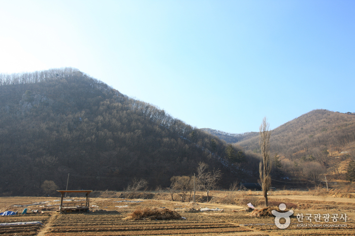
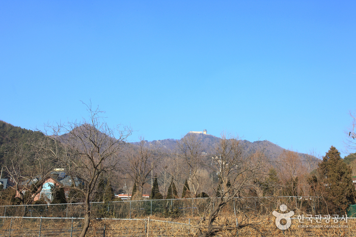
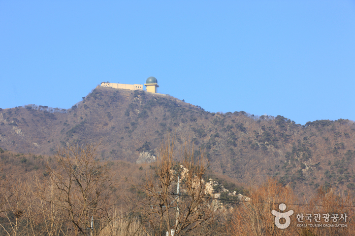
Surisan Mountain, a provincial park of Gyeonggi-do, surrounds Gunpo and is also easily accessible from Anyang and Ansan. Surisan Mountain is said to be named because there is a rock in the shape of an eagle. Another legend says it is named after the nearby Surisa Temple. <br>
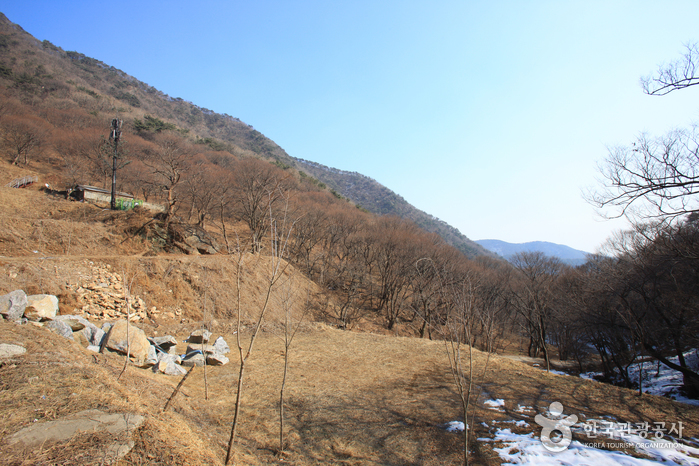
Surisan Mountain is part of the Gwangju Mountain Range along with Cheonggyesan, Gwanggyosan, Gwanaksan, and Baekunsan mountains. The mountain has four peaks and the highest is Taeulbong Peak (489 m).<br>
Grand old trees that range from 100 to 300 years old make for picturesque scenery. The mountain also won first place in the 2002 Beautiful Forest contest hosted by the Korea Forest Service.
Surisan Mountain is part of the Gwangju Mountain Range along with Cheonggyesan, Gwanggyosan, Gwanaksan, and Baekunsan mountains. The mountain has four peaks and the highest is Taeulbong Peak (489 m).<br>
Grand old trees that range from 100 to 300 years old make for picturesque scenery. The mountain also won first place in the 2002 Beautiful Forest contest hosted by the Korea Forest Service.
Location
📍 Open in Google MapsHow to Get There
Info: • 1330 Travel Hotline: +82-2-1330 (Korean, English, Japanese, Chinese) • For more info: +82-31-808-8265
Best Time to Visit
South Korea has four distinct seasons. Spring (March–May) and autumn (September–November) are the most popular times to visit. Summer brings humidity and occasional typhoons, while winter is cold but great for ski resorts and festivals.
Frequently Asked Questions
Sunrise-Sunset
Available
* Subject to closure during adverse weather condition
• 1330 Travel Hotline: +82-2-1330 (Korean, English, Japanese, Chinese)
• For more info: +82-31-808-8265
• For more info: +82-31-808-8265
Photos
© Korea Tourism Organization · Source required · No modifications